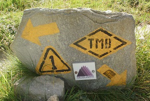
The day I crossed the French border into Italy
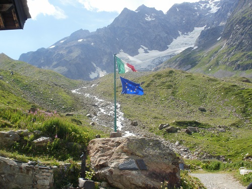
I awoke far too early because of people packing their gear, why don't they do that the night before? I lay for a while then got changed and headed off. Today there were two choices, either walk straight down steeply to Les Chapieux passing the Refuge De La Nova and then along to La Ville des Glaciers or take what the guide books say is a higher and more scenic route with stunning views of Mont Blanc and also a short detour to climb Tete Nord Des Fours which is only a short and easy detour from the path and at 9041ft/2756m would be the highest point of the Tour du Mont Blanc walk and higher than I'd ever been before. I took the high route as the weather seemed good, it would be a shame to miss out on the views.
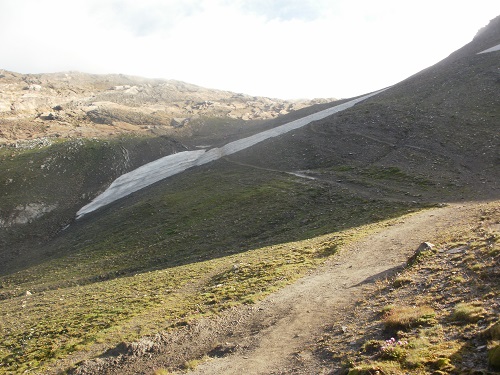
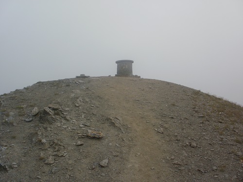
I don't think my legs had woken up as I climbed the short distance back to the cairn and headed up the path towards the Col Des Fours. There were a few people also heading this way and soon the path crossed a small section of snow and then climbed over rocks following cairns. At about this time the clouds started to cover the summit of Tete Nord des Fours and I knew I'd have no chance of seeing Mont Blanc's summit but I kept going as the summit would be over 9,000ft, higher than I've ever climbed before. Sure enough, there was no view from the summit so I headed back to the main path to start my long descent down to La Ville Des Glaciers.
The main path would be steep downhill, mainly zigzagging on loose shale and thin paths. The steepness wasn't good on my legs and knees and it seemed to go on forever before I saw the main TMB route over the valley. The steepness though was forgotten when I looked around and saw the great views and also the small waterfalls coming down the valley stream, at one point under a bridge made of snow.
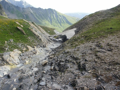
Eventually I reached a track beside a deserted house and continued even more zigzagging downwards until I reached La Ville des Glaciers where I stopped for a few minutes to let my feet recover before moving on the short distance along a track to Refuge Des Mottes where I stopped for a beer and a break as I knew a lot of ascent was ahead of me.
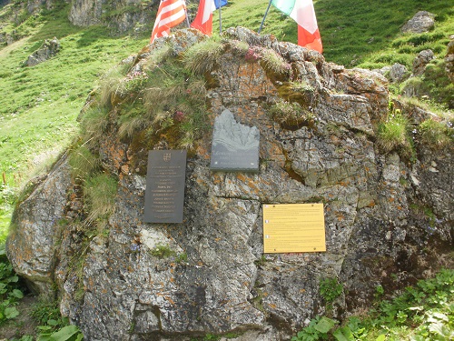
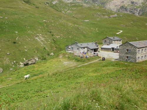
Refreshed and recovered, I headed off, firstly up the never ending zigzags before it leveled out slightly but it would be a long and hard slog up to the Col de Seigne which is the border between France and Italy, I never thought I would ever see the Col as the path just seemed to go on and on. Eventually I saw a cairn in the distance and the path seemed to level out and I reached the Col and took in the breathtaking views into Italy.
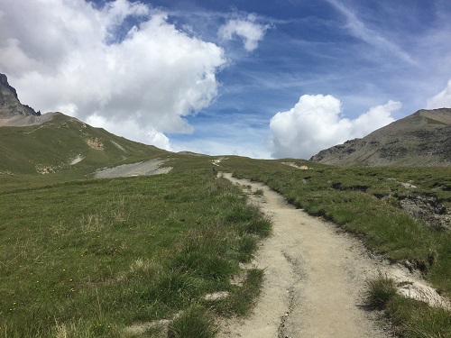
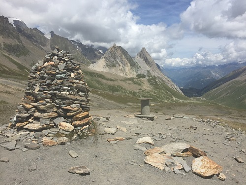
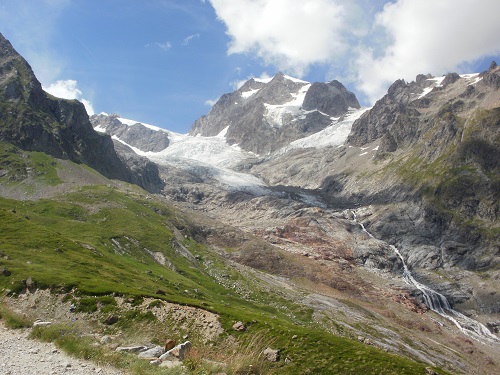
After a short break I headed off, I was now in Italy and heading downhill, steeply at times but the view down the valley and to the sides was worth it. Down and down I went until the path leveled out and it felt good to walk for a while on level ground. After a while the Rifugio Elisabetta came into view just above me, to the left. The climb up to the Rifugio was steep and not enjoyable at the end of a long day. Luckily there were plenty of seats outside to relax and get your breath back while looking down the valley towards Courmayeur and the amazing views of the Glacier D'estelette and listening to the sound of the water pouring down from it.
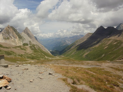
As I sat on the refuge terrace admiring the view I felt lucky that so far I'd had three dry days, it had been shorts and tshirt weather. I also knew that the next day into Courmayeur would be much easier, less mileage, quicker and a Hotel room and shops to look forward to at the end of the day and a choice of goodies to eat when I arrived.
My Accommodation - The Rifugio Elisabetta
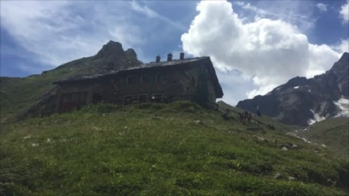
The Rifugio Elisabetta was really busy as you might expect and the Dorms were quite small with not much room but I got a good sleep. The food was enjoyable as was the company and I would certainly stay here again.
Click here to go to Day 4 - Rifugio Elisabetta to Courmayeur
