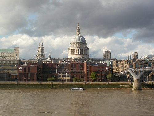
After previously finishing the Southern Upland Way a couple of weeks earlier (Read about my Southern Upland Way walk here), that walk and the first day of the Thames Path were total opposites of each other. The SUW was so peaceful, hardly seeing anyone any day and on paths where you just walked for miles in one direction. Today I seemed to be walking beside the river for a while then off down some side street to avoid houses for a while then back to the river, some times I saw waymarkers and some times I didn’t and just made up my own route. The tourists were a pain near the end of the day, walking slowly in random directions then stopping suddenly but I expected this as any long distance walk that goes through a big town or city has the same problem. Obviously I’ll be happier when I leave Central London behind and hopefully get on better paths.
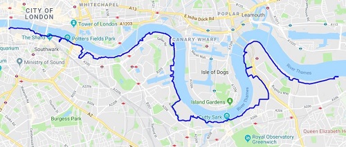
The plan for day one was to get the train to London then onto Charlton Station which is the nearest station to the start of the trail at the Thames flood barriers and then walk the 12 miles to Blackfriars bridge before leaving the trail and staying the first night at the St. Paul’s Youth Hostel (I actually stayed here three nights and travelled back after each days walk as it was much cheaper to do so). As my train got nearer to Charlton it started raining but by the time I got down to the flood barriers it had stopped. I had a bit of lunch, took the usual photos and headed off for my 13th National Trail.
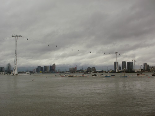
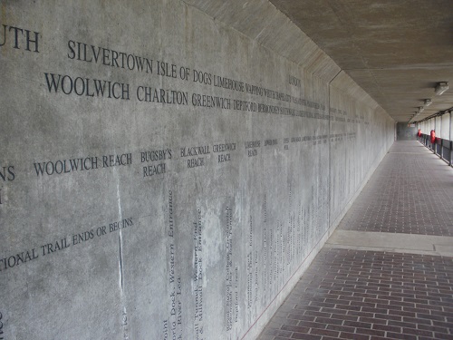
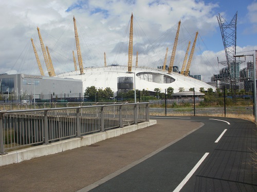
The start was through a little tunnel which has details about the Thames engraved in the wall and I left the barriers behind me as I set off beside the river on a shared cycle path. Just over the other side of the river, planes were taking off frequently from the London City Airport. It wouldn’t be long before I was passing the Emirates Air Line which is basically a cable car that goes over the river. Then I reached the Millennium Dome (or the o2 as it is called now) but I didn’t see much of it as the whole area around there seems to be a huge building site with huge cranes and occasional diversions on the path. It wasn’t until I passed it that I got a better look at it. A large group were gradually climbing up the outside of it towards the roof, rather them than me.
I soon followed the direction on a waymarker down a lane for a bit then back again once I realised that the sign had been bent and wrong. Another genuine diversion soon followed beside the queues of traffic waiting to enter the Blackwall tunnel for a while before cutting off and down another road. At this point it started to rain a bit and I stopped in a bus shelter to put the waterproofs on, a very wise move as moments later the heavens opened and torrential rain came down. I waited 15 minutes until it was nearly off before I set off again.
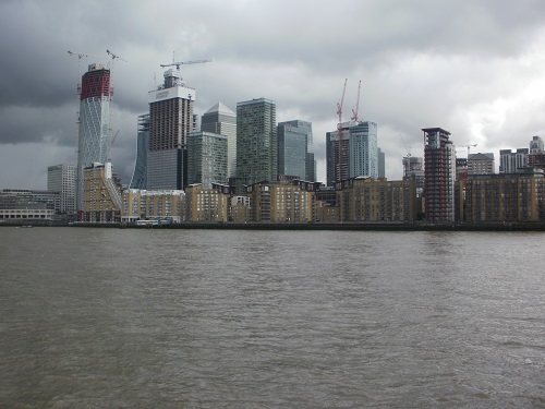
The large buildings over the other side of the Thames kept me interested on the Isle of Dogs as did the amount of planes heading up into the clouds and the boats on the river. The path headed along the front of many new buildings, no doubt very expensive and sometimes behind them and this was the pattern for a while until the path left the river for a while and eventually through a park near Deptford before finally heading back towards the river again.
I could look along the river occasionally and I could see the London Eye or the Shard in the distance but now they were now lost in the clouds, this meant rain was on it’s way again and it wasn’t long before it arrived. I took shelter beside a block of flats for a while then continued, heading away from the river again and over a couple of Locks.
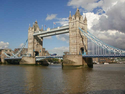
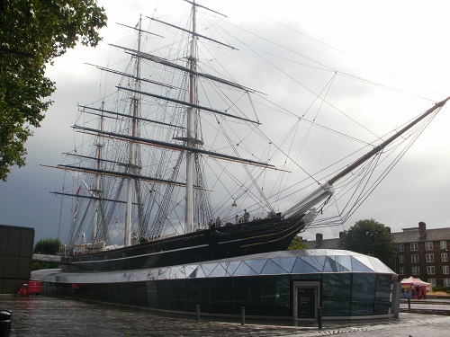
There were a few landmarks passed today including the Cutty Sark and the large Naval College but I just wanted to see the bridges over the Thames and the river instead of back streets. Obviously though, the nearer I got towards the city centre, the busier it got. I soon was back by the river and the sight of Tower Bridge to feast my eyes on for a while. I joined the crowds of tourists taking photos of it before moving on.
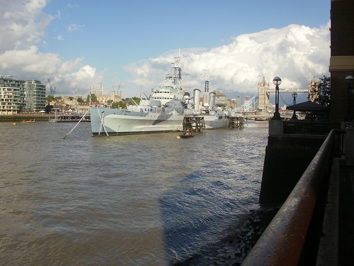
Next on my list was passing HMS Belfast but I took a small division when I saw a sign for toilets, I had been looking for public toilets for ages and had no luck so this was a welcome sign even though it cost me money. Back on the trail, it was now a slow walk dodging the tourists and passing the many bars and restaurants on the riverside. London Bridge and Southwark Bridge were soon passed before I climbed up the steps up to Blackfriars Bridge and headed away from the Thames Path for the night.
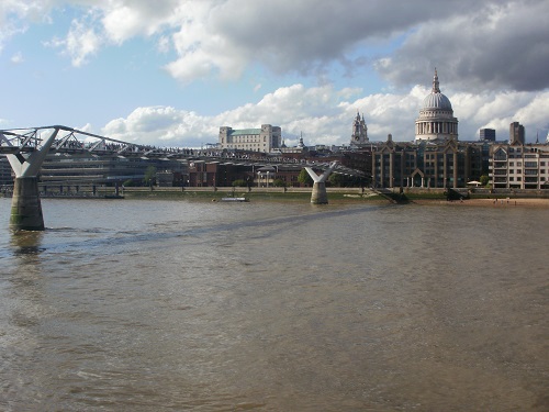
It hadn’t been a spectacular first day,mainly down to the weather and far too many times away from the river for my liking and far too busy with slow moving tourists but I expected that. I know there will be plenty of riverside walking in the days ahead, wider paths and less tourists. Mind you, I guess I’m a tourist as well, just one who wants to walk a bit quicker and longer than normal tourists.
