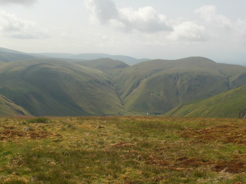
Today, I was told would be a very scenic day so I feared the worst when I looked out my Hotel window and saw that it was foggy. I need not have worried though as by the time I had my breakfast the sun had come out and would be out the rest of the morning, the rest of the day would be cloudy but dry all day, as would be the grassy paths.
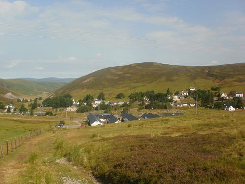
I checked out of my Hotel and got the bus back to Wanlockhead where I finished the previous day. It was a later start because I had to get the bus so it would be a later finish as well but there was no real hurry today, it would be a lovely walking day, lovely wide views and the best day of the SUW so far. The first couple of miles would be uphill from the Lead Mining Museum car park towards the golf ball (radar station) at the top of Lowther Hill. My legs felt good after an easy day yesterday and I didn’t have much difficulty heading up on a mixture of grassy paths, tracks and tarmac, the views across the valley and back to Wanlockhead were lovely in the morning sun. As I got nearer to the top I noticed a couple of people ahead of me, I have only seen a couple of walkers in the five previous days so it came as a surprise to see them.
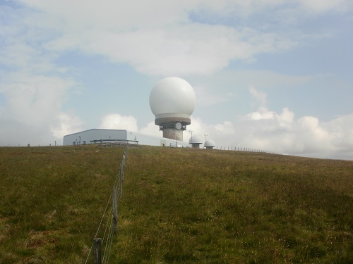
The path passed by the radar station and headed down towards Cold Moss but the scenery up here was fantastic all around. I would see this distinctive golf ball on the top of the hill for much of the day further on the trail. This section was a little up and down but on a good dry grassy path and I soon overtook the people that I had seen earlier. A few minutes later another couple passed me going the other way and said it was a surprise for them to see anyone on this part of the trail. Ahead of me I occasionally could see the dam of Daer Reservoir which is where I planned to have my lunch. A couple more ups and downs followed before a steep descent to a road and a short walk along it. I then walked over some open grassy land towards woodland and then onto a track. I could hear voices and I turned to see just behind me a group of teenagers on the track who probably were dropped off further down the road.
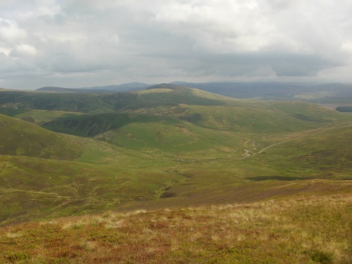
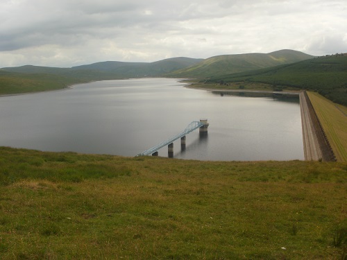
The track lasted quite a while, the views around still lovely even though the sun seemed to have gone. Eventually I came to a post which told me I was at the halfway point of the SUW, this pleased me as I knew I was now nearer the end of the trail than the beginning. Not long after here the trail reached the large dam at Daer Reservoir and I crossed the top of it. I realised also that the young walkers had disappeared, I have no idea where they went. I was looking for somewhere to sit down on to have my lunch but I had to wait until the other end of it where a large flat rock sat beside the trail. Before I reached it though, an enjoyable walk across the top of the dam gave impressive views of the Reservoir although the level was very low due to the recent heatwave.
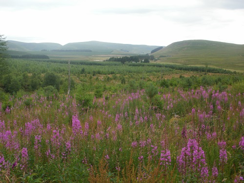
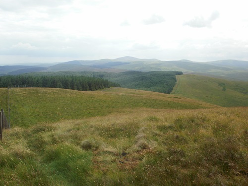
I didn’t take too long for lunch and it was straight uphill on a narrow grassy path to Sweetshaw Brae then Hod’s Hill. This was a lovely ridge walk which then turned and headed up and down but giving good views of the Reservoir. After a while the path entered woodland and the best part of my walk was over. The views were gone and the path wasn’t as nice, and the forest section went on for miles and just seemed to go up and up. Only a few waymarkers could be found in the forest but then again there was only one real path for you to follow anyway.
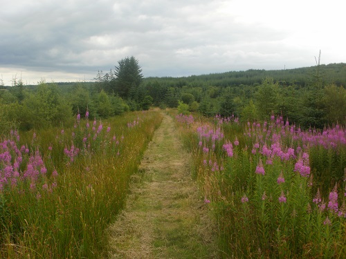
After a long slog through the woods I saw a sign for a Bothy but I didn’t have time to divert off the route to visit it and have a break, I just wanted to get out of the trees. I thought I had done so when I suddenly found myself in the open, the path crossing through a couple of fields on a faint path but I then went back into the woods again but at least now the path was wider and on short recently cut grass.
It wasn’t long before I reached a road, the guide book telling me that it would take me all the way into Beattock. The book also told me about a picnic area but either I missed it or it no longer existed. The Crooked Road had many uphill parts but soon I was looking down upon the busy M74 motorway and Moffat just over it, which is where I was staying the night. A small bench appeared to the left of the road and I had a short rest.
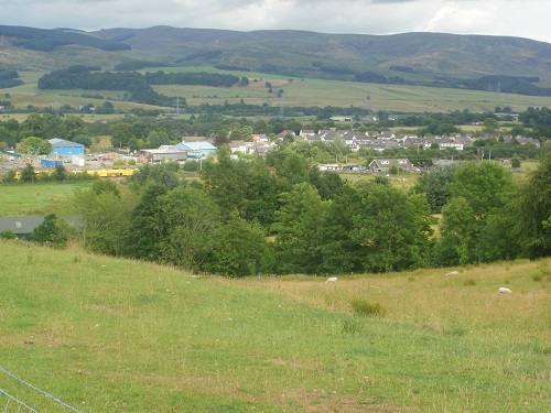
It would be all downhill from here, first over the railway bridge and then under the motorway and alongside the road into Moffat, a sign telling me that I had one mile to go. I had walked about 21 miles and the last few on tarmac meant that my feet were getting a bit sore now and my legs felt heavy, the last mile seemed longer. As I walked into the village I saw the Co-op shop and bought a couple of things for tea. If was after 6pm but I expected to arrive late because I had started later than usual.
It had been a long tiring day but the scenery and the walk until the forest section had been fantastic and I was glad it had stayed dry with clear views. Tomorrow’s weather forecast suggests rain throughout the day so views will be limited, feet will be soaking wet and I hope the forecast is wrong but I know there will be a lot of track and road walking near the end to maybe dry my shoes a little.
