The end is in sight after a hard days walking
Today was going to be a long day, not just mileage and time but a lot of ascent, from Patterdale up to Grisedale Tarn then down to Grasmere for lunch before the long trudge up to Greenup Edge and down towards Borrowdale. Then, as if that wasn't enough, a long steep road up the Honister Pass to the Youth Hostel. It was a day I was looking forward to because of the great views I would hopefully have but there was also a bit of apprehension about the coming day ahead as I left Patterdale Hostel.
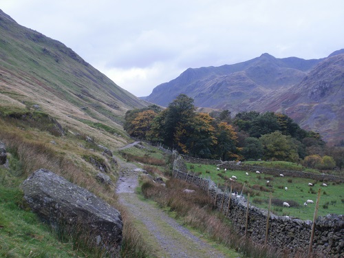
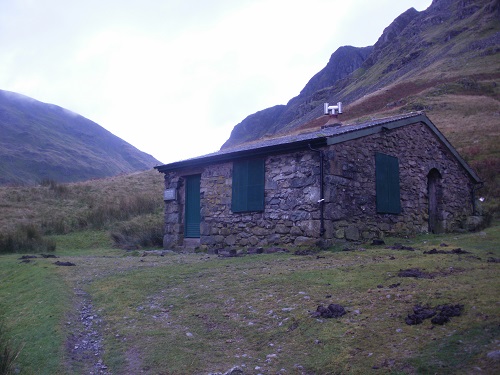
The forecast today was for occasional showers but this is basically what it's said everyday so far so who knew if it would be dry or wet. Anyway, it was dry when I left Patterdale and started heading up towards Grisedale Tarn, firstly through woodland and then along a road, the surrounding hills looking huge either side of me and in front. I could see the valley that I was aiming for and up in the distance I could see Ruthwaite Lodge, a hut way up on the hill. The path up to the lodge was nice to walk on and more importantly, it was dry which meant no slippy rocks, sometimes these paths are nicer to walk up than down. It was still a long way up to Grisedale Tarn along a never ending path but eventually it levelled out and the Tarn came into view. I was thinking I'd now have a level path around the tarn but the path kept going up.
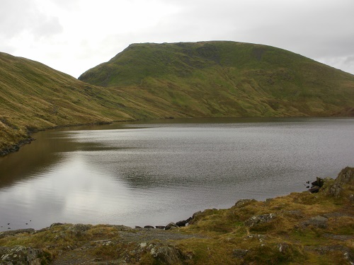
Eventually I reached the highest point of the path and started heading down, Grasmere coming into view shortly afterwards. It had been fast walking on good paths and I reached the main road into Grasmere earlier than I thought and went to the shop to get some lunch and food for my tea later on and goodies. I settled down on a bench to have my lunch, quite happy but I knew the hardest part of the day was ahead of me.
Lunch over, it was time to leave all the tourists behind in the village and head up the rocky path which also leads to Helm Crag which was on my right by now. The path for the Crag soon cut off and my path just kept going up and up, the valley I was aiming for was high up and it was hard going, the path not as nice as the earlier one.
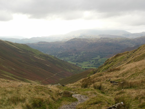
It seemed an eternity until I reached the path that takes you to Calf Crag and along the ridge, a nice popular circular walk from Grasmere. Here I knew it wouldn't be long until my path would change from rocks and hard ground to a wet soggy section for a while. I wasn't looking forward to the wet bit but it was easy to navigate it without my shoes getting too wet and I was happy to leave this path and back onto a more solid one.
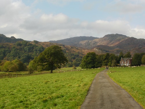
I was still heading up and I knew there was a soggy section still to come before Greenup Edge that would involve a bit of puddle jumping and bog hopping but I had no idea yet how wet it would be. What kept me going was knowing that after this section was out of the way, it was all downhill again for a few miles towards Borrowdale. The wet section though was actually quite dry and I had no difficulty keeping my shoes and socks dry, much to my relief.
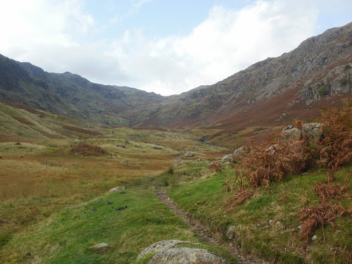
It was downhill now for a few miles but it was steep and rocky, mostly dry but you still needed to be careful where you put your feet. This path was hard going though as you couldn't get into a rhythm and Borrowdale didn't seem to get any nearer. The scenery from here was fantastic, I had walked this way twice but I had been in the clouds both times and got no scenery so this was a very welcome sight, many of the hills recognisable to me, including Haystacks and the High Stile range.
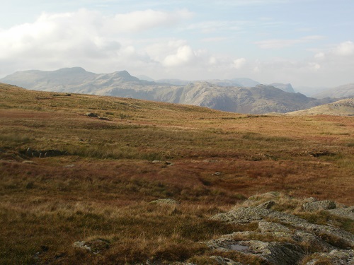
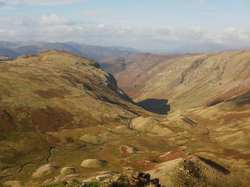
The steep downward path eventually levelled out but the path was still rocky and it took ages before I got down near Borrowdale. I wasn't staying at Rosthwaite this time so I was able to cut a couple of miles of my day by crossing the bridge into Stonethwaite and walking along to Seatoller. I stopped for a little rest as I knew a very steep road was next and the sweat was soon dripping of me as I plodded upwards, the Youth Hostel coming into my eyesight after a while but it was still a long way up to go.
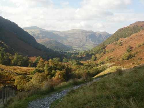
In the distance I could see the path that I will start on tomorrow and it is very steep, I'm not looking forward to it but at least it will be out of the way early on. I reached the Youth Hostel earlier than I thought I would and it was very busy. There is no internet or a phone signal here so I'm going to end up reading every magazine, the same ones I read on my last visit.
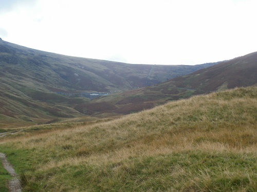
Today was a good walk, long and hard but it stayed dry all day and the reward was great scenery all day. Tomorrow is my final day, I have mixed emotions as I'm happy to be going home tomorrow night but also sad that my Coast to Coast adventure will be over. An early rise in the morning and hopefully the weather stays nice for my last long day. It doesn't feel like 8 days ago I left Robin Hood's Bay to start my walk.
