This would be my second walk of the day, to see the report and photos from my earlier walk from Mosedale ( Click HERE ). I drove the couple of miles from just outside Mosedale to the small village of Mungrisdale and parked by the side of the road behind half a dozen cars. This walk would start off with a short steep walk along a grassy path through ferns but it wasn't long before the ascent levelled out a little and the walk got easier.
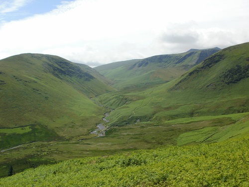
On the right hand side of me I could see Carrock Fell, a hill I'd climbed a couple of hours ago and on the left hand side of me I could see Souther Fell, which I'd be climbing a little later. The walk to Bowscale Fell summit would be quite easy, the short grassy path meant fast walking and it wasn't that steep. Near the summit, the path changed direction slightly and started facing towards Blencathra, the first time I'd actually seen the summit, the previous two times I'd been in the area or climbed Blencathra, the summit was under clouds.
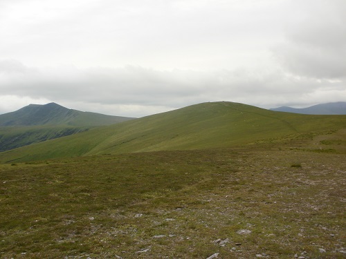
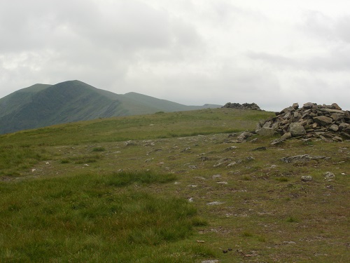
I could also make out some of the Skiddaw Hills as well in the distance, hills that I'd climbed a couple of weeks earlier, it's always nice to be able to recognise hills in the Lake District. The walk from Bowscale Fell to Bannerdale Crags would also be an easy walk, I resisted the temptation to head straight ahead and up onto Blencathra and instead turned left at the point where the path divided in two, from here it was a short walk to the summit of Bannerdale Crags, with Souther Fell over the valley from it.
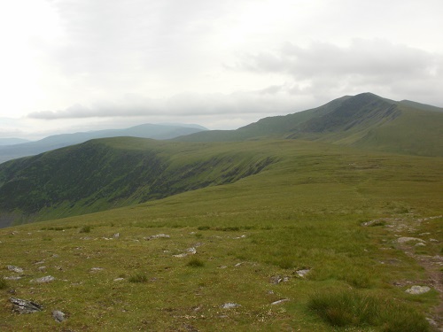
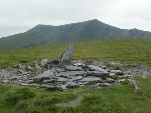
It was downhill from Bannerdale Crags summit but the path seemed to disapear for a while, it was simply a case of heading downwards in the general direction of a path that I could see on the other side of the valley that headed up towards the zig zags that were leading to the other end of Blencathra. A path soon appeared again though and I followed it down to a small stream and over it to join another path, turning left.
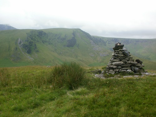
It felt unusual to walk on a different surface as all I'd walked on all day in my walks had been grass but this was a harder surface but soon I'd leave it and start the long but gentle climb towards the summit at Souther Fell. More fast walking meant I was soon at the high point of the hill and starting the climb down to Mungrisdale, this would eventually mean walking steeply down a grassy path surrounded by ferns, yet again.
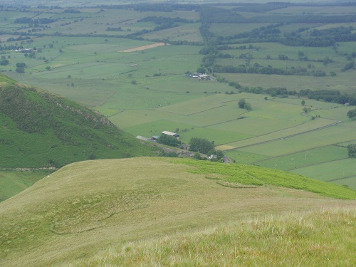
I was heading towards the village and almost down to it's level when the path turned 90 degrees to the right and headed away from the village for a distance before turning and heading towards the road. A short walk back along the road through the village and I was back at my car again, changing boots and getting ready to head towards the Youth Hostel that I'd be staying in for a few days, hoping that the walks that I'd planned for the next couple of days would be as good as todays walks had been.